Wednesday, September 10, 2008
Ligonier, PA to Schellsburg, PA
39 miles (8831 total miles)
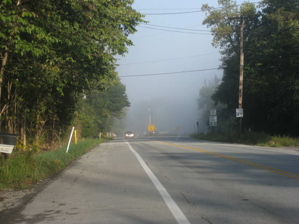
Today was a totally spectacular day, despite the long climbs. The Alleghenies were absolutely beautiful and the weather today was perfect. It started out foggy and chilly as we left our motel at 7:50. We debated whether to wear our jackets but decided not to since we'd get warm soon enough. That was certainly the case - we started to climb right away, only about 1% at first, then 3%, and then 5-6%. The road was good but the shoulder was narrow and rough, which was worrisome - if it were like that all day, we'd have a very hard day of it. Luckily, the shoulder improved greatly after the first 4 miles, before the real climbs began, and it was wide and smooth pretty much all day. The fog also lifted (or maybe we just got above it) after 7 or 8 miles and it was a beautiful, sunny day with puffy white clouds the rest of the day. The temperature remained cool, for which we were thankful because it made riding up all those steep hills much more pleasant.
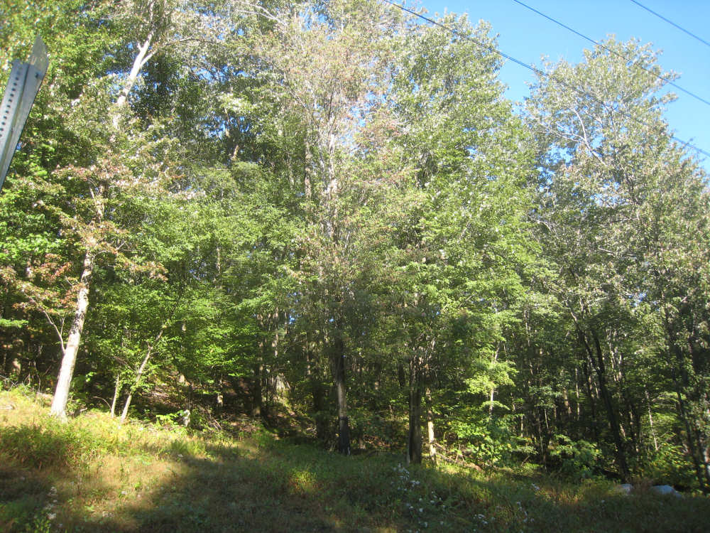
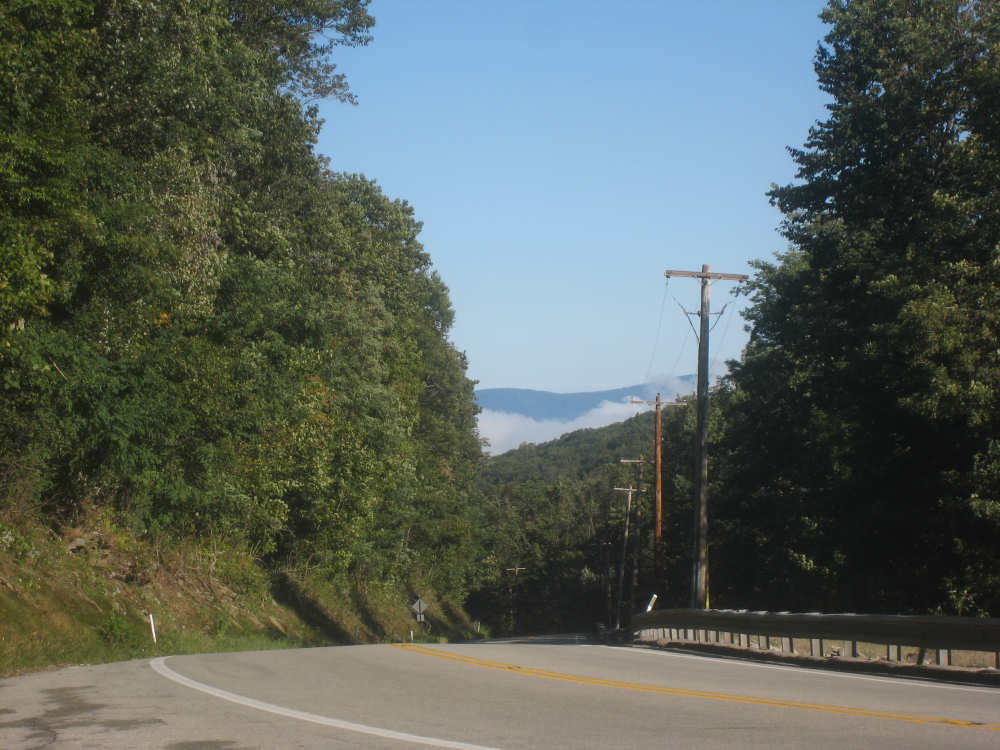
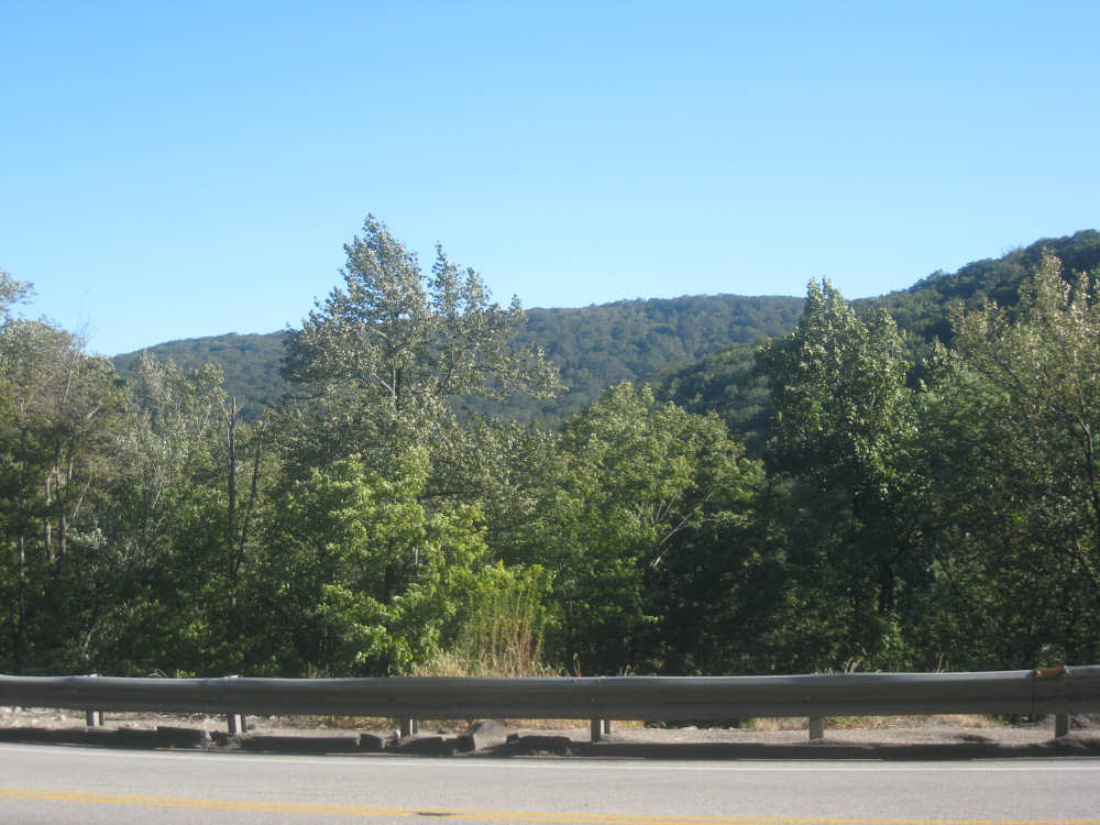
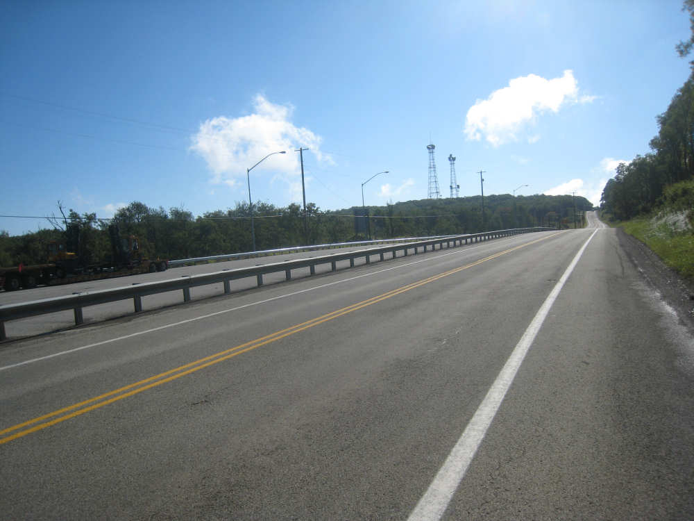
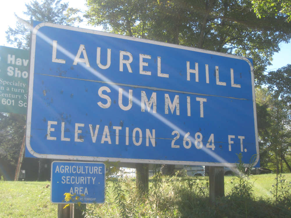
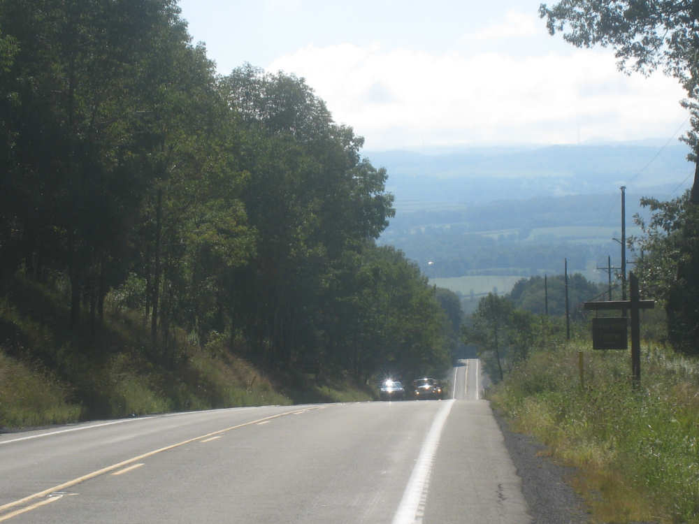
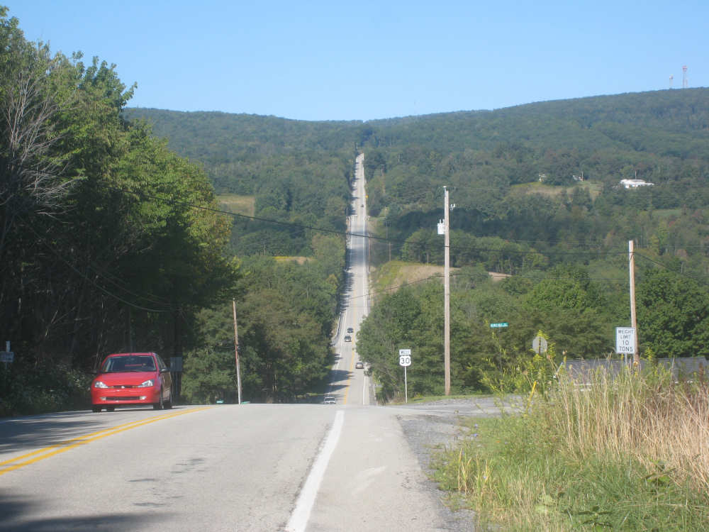
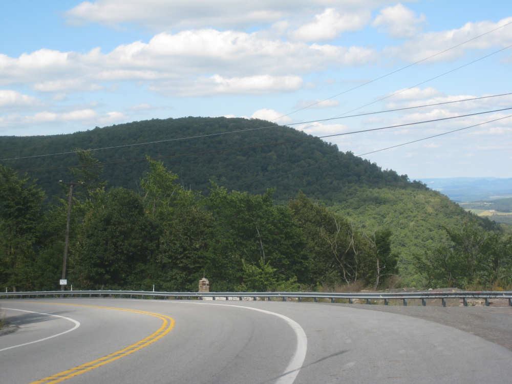
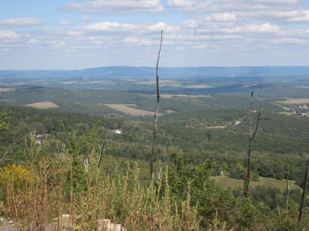
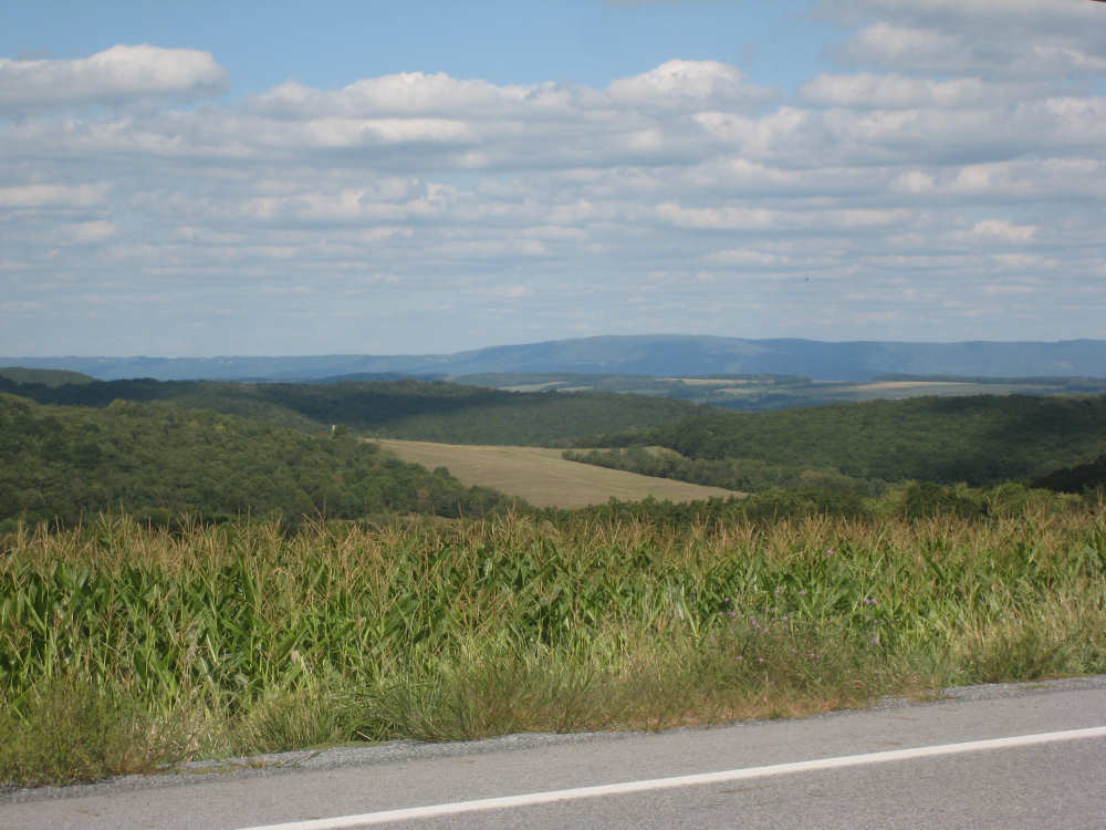
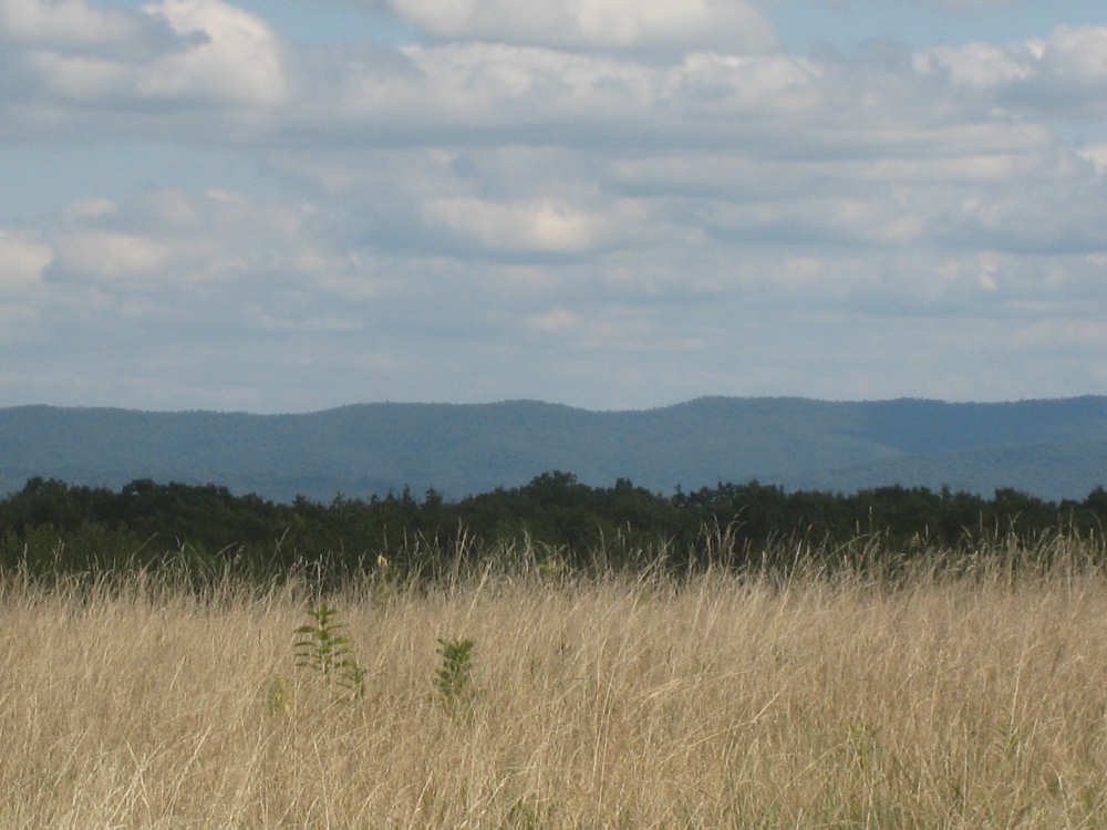
We knew we had 3 major climbs today, the steepest and longest one starting off right at the beginning of the day. We started at about 1,100 feet and reached 2,684 feet at the Laurel Hill Summit. The ascent was over about 4 or 5 miles and had many long stretches of 9-10% grades. There was a long, steep descent from that summit, during which we had to brake constantly, but we didn't go all the way back down to 1,100 feet. The second hill was not as long or as high, but still had some steep rises. The third, Bald Knob Summit, went up to 2,906 feet although it only started from about 2,400 feet. It was long but not as steep as the others. In between all the major climbs were a lot of ups and downs, as well. The third hill had a 6-mile 9% grade descent (according to the truck warning sign) with a few plateaus where we could give our brakes a rest. And then it was slightly rolling with another small hill just before our destination. It was interesting to compare today's climbs with some of the others we've struggled over in the last 6 months. Although the Alleghenies weren't as high as a lot of the others, they were steeper than most of them. The other hills were usually graded so that they kept to a 5% grade more uniformly. The Alleghenies route went pretty much up and over, as you can see from some of the pictures! Still, we agreed that the Leggett Hill in California was worse than today's hills; the grades there were pretty intense, and the shoulder was basically non-existent, with a steep cliff on one side of the road and a very steep drop on the other. And we thought the Pennsylvania mountains had the best scenery of any place we've been - beautifully wooded hills with a variety of deciduous trees and evergreens.
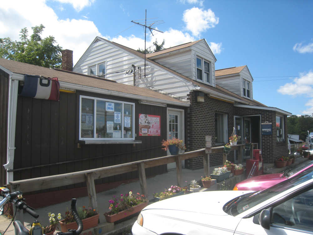
We didn't have as many towns to pass through today. Among the first ones we came to were Jennerstown, closely followed by Jenners Township, immediately bordered by the Village of Jenners Crossroads (it must be very confusing to live here). We stopped for a snack in Jennerstown, having made it over our first hill by then. We spotted a little place called the Snack Shack which seemed perfect. They had some apple dumplings and turnovers that we chose and snarfed down while chatting with the guy at the counter. When we were ready to leave, he told us the snacks were on the house - something he regularly does for bikers coming through. What a nice guy! We then had a 4-hour stretch before we came to another place with food, Reels Corner, where we had lunch. The Hertiage Highway Restaurant was an interesting place with some historic markers beside its doors. One of them really amazed us - it described the snow removal operations on the road before they had snow plows. We have pictures below. Route 30 seems to have been called the Lincoln Highway and is now called Heritage Highway. There were many references to the Lincoln Highway and some great murals of the road in its heyday, as well as other historic markers along the road. In another kind of tribute, shortly before Reels Corner we saw a sign for the Flight 93 memorial, about 3 miles down the road towards Shanksville.
It was a longer day than we've had in a while. We arrived at our motel at 4:20, having gone only 38.7 miles in almost 5-3/4 bike hours, our slowest average to date, I believe. Still, the gorgeous hills made it a thoroughly enjoyable day. Tomorrow, we'll go 5 miles longer but have a little less climb, we think. We'll be going through PA turnpike territory - Bedford and Breezewood - before turning farther south through McConnellsburg. We should be through the mountains after tomorrow, so we'll have a lot less climbing to do after that. The weather should still be nice tomorrow, although it will probably rain for the rest of the week.

Fort Ligonier in the fog |
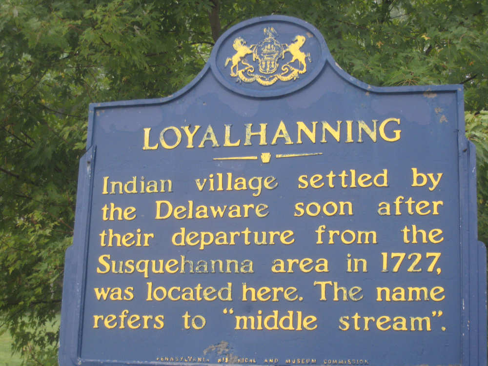
An explanation of the Loyalhanna name |
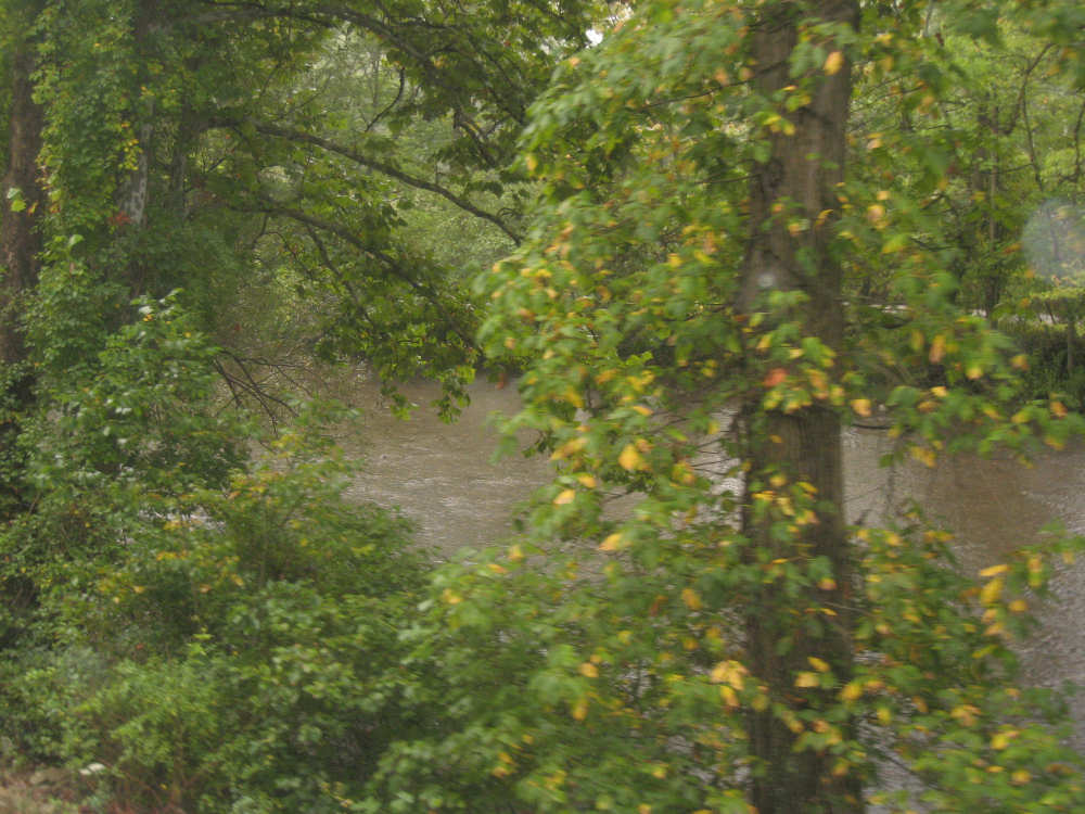
The Loyalhanna Creek again |
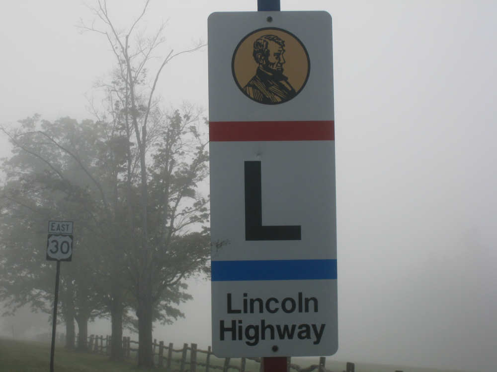
The Lincoln Highway sign |
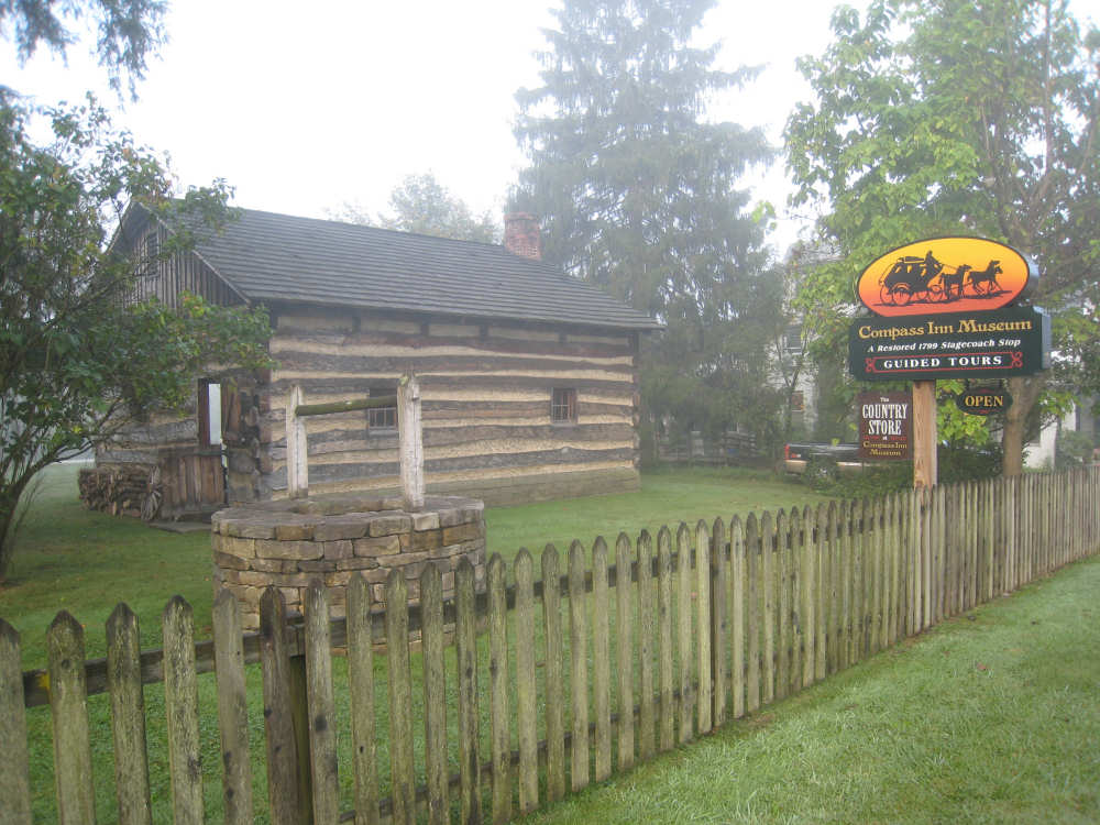
One of the buildings of the Compass Inn Museum... |
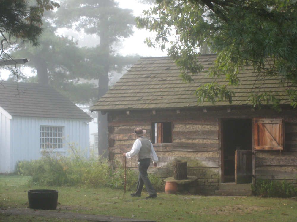
and one of the workers there, in costume with a fabulous walking stick |
Looking back down the road we came up, with a runaway truck ramp on the other side |

Densely wooded hills ahead as the road splits briefly |
Trees climbing the hill beside us |
Higher up now, looking back on the fog between the hills below |
More hills to the side of us |
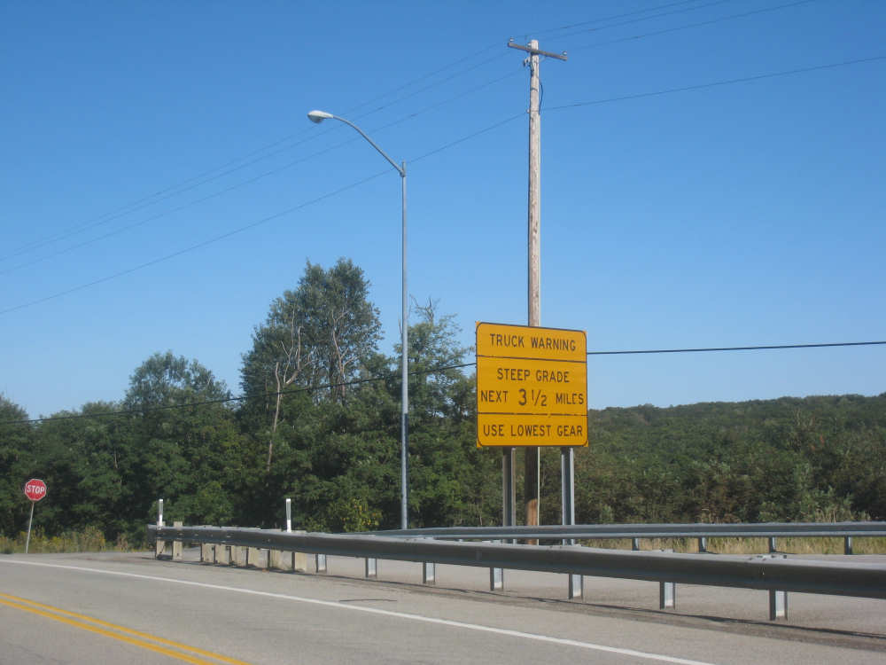
I kept seeing all these truck warnings in my rear-view mirror |
Still more climb ahead |
And finally, here we are at the top of the first hill |
The breath-taking view behind us... |

and the daunting view ahead as we start down the hill |
The view behind as we make it up the second hill |

Houses in Jennerstown |
|
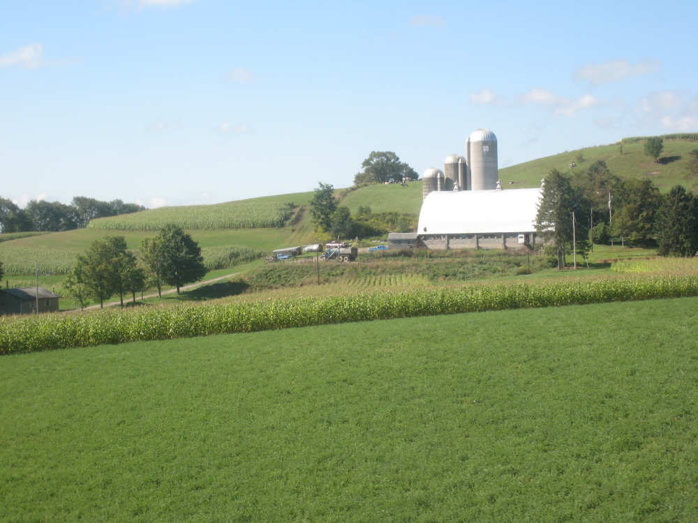
A farm near the top of a rise |
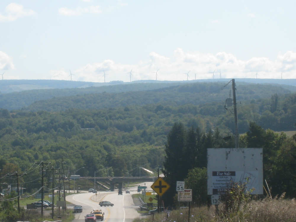
Windmills faintly visible along the crest of the distant hill |
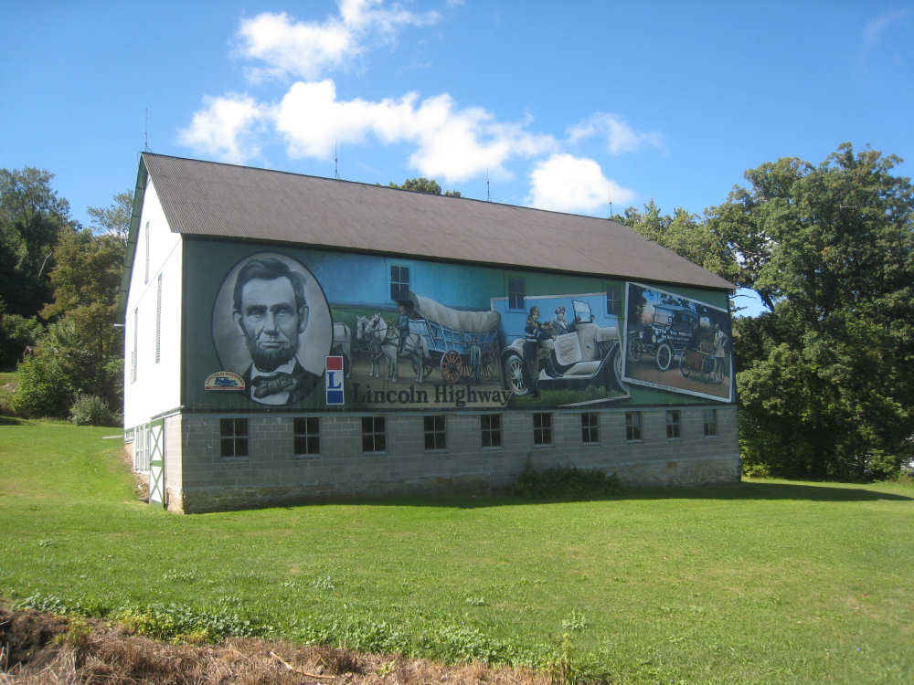
A beautiful mural on the side of a barn |
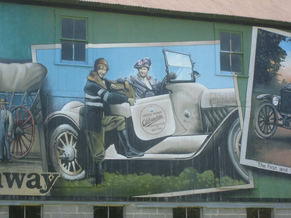
Two stylish travelers on a road trip on Lincoln Highway |
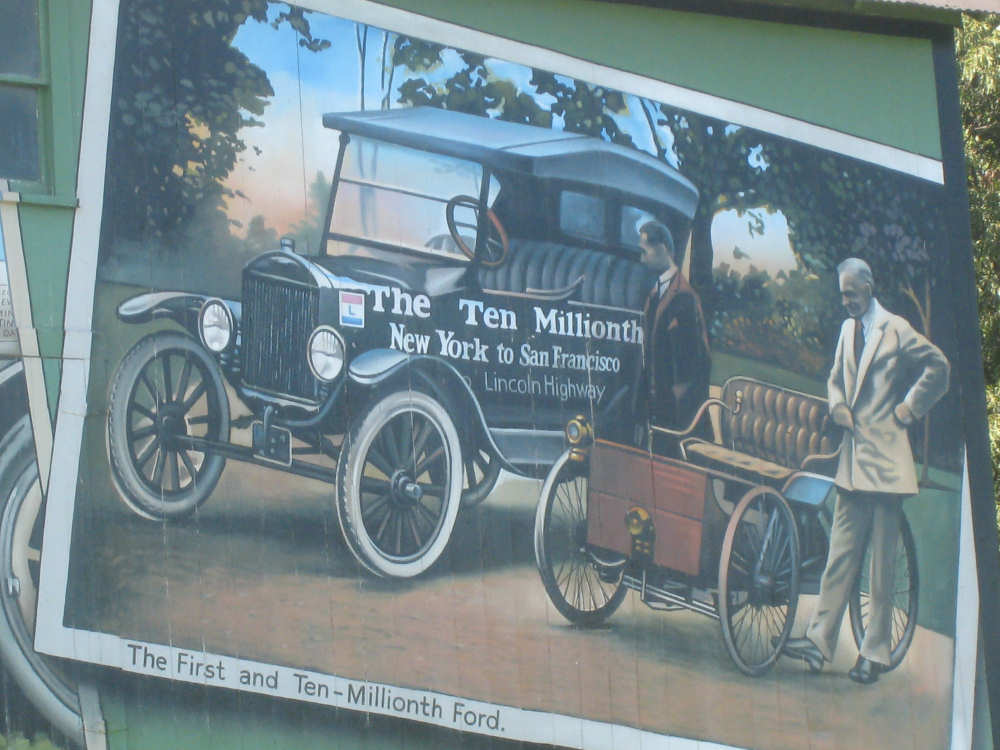
The first and the ten millionth Ford cars! |
A wooded hill behind nearby trees |
A mountain ridge in the distance |
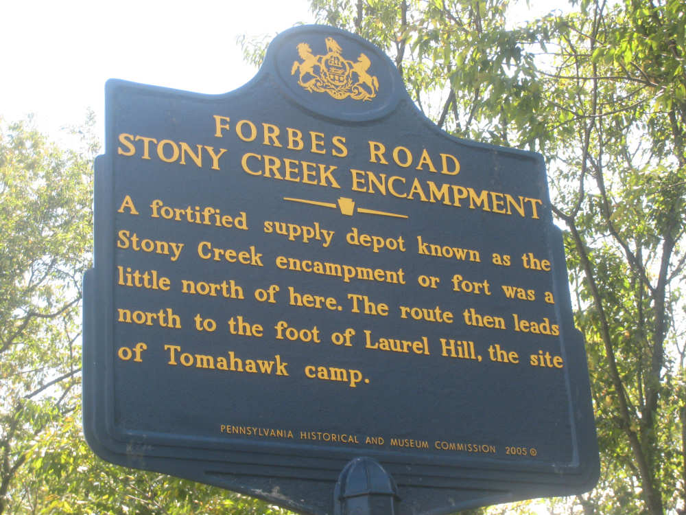
A historic marker |

Those faraway windmills up close now |
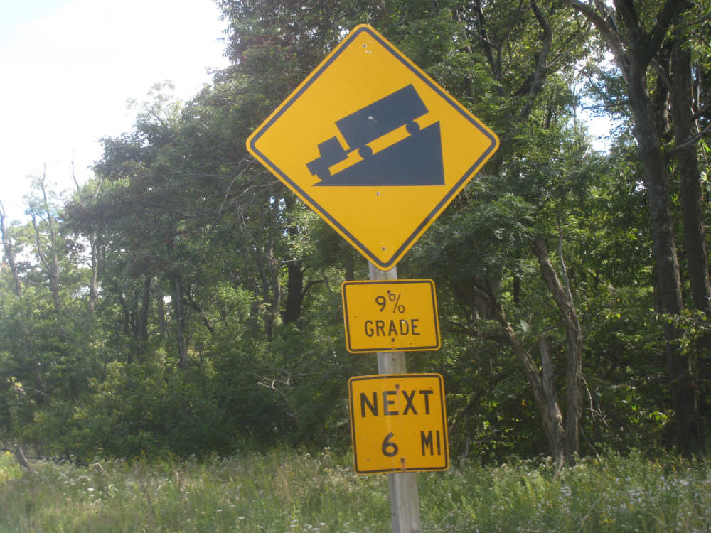
Another truck warning sign for the road behind us |
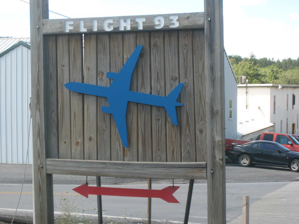
Sign for the Flight 93 Memorial, 3 miles away |

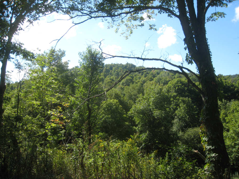
Beautiful woods |

Our third big hill looms ahead |
The Heritage Highway Restaurant |

The first marker there, giving the history of the site |
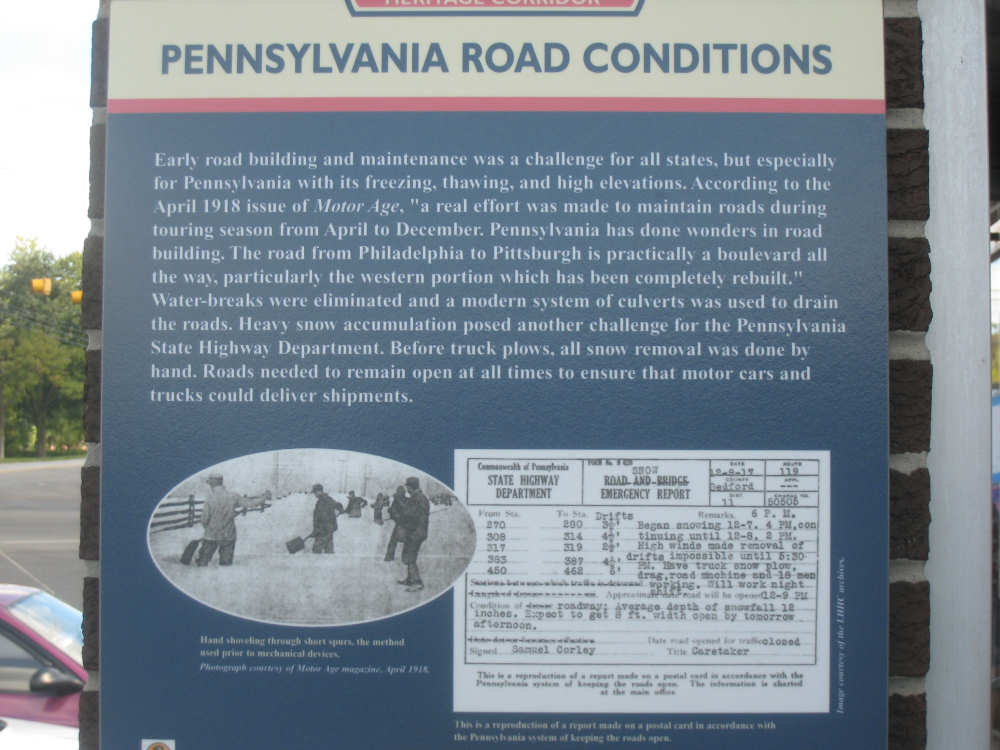
The second marker, about the troublesome road conditions |
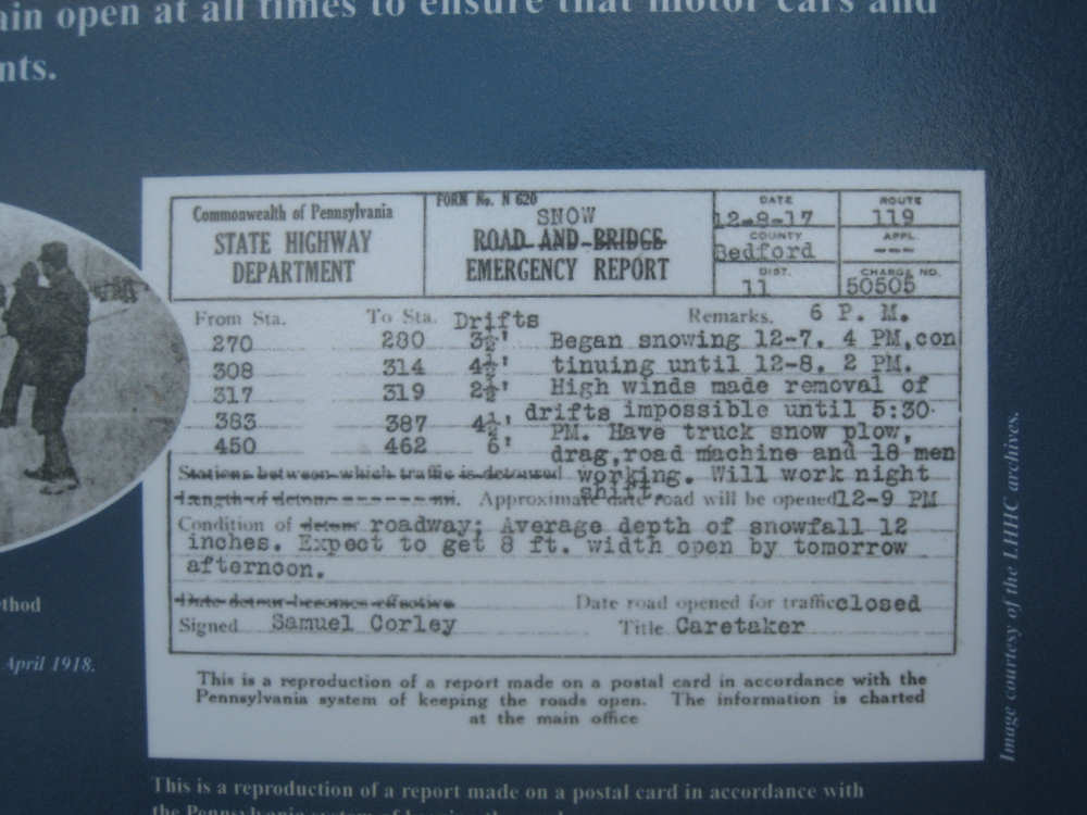
A close-up of the post card report on snow removal progress after a big storm |
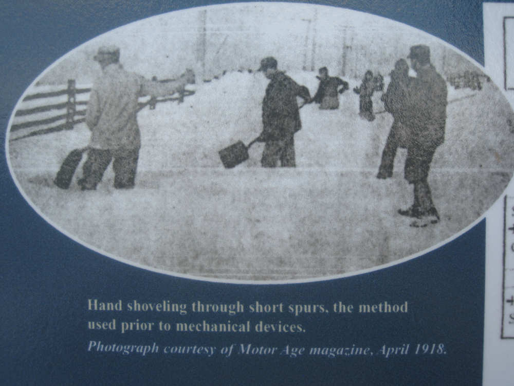
Road workers shoveling knee-deep snow from the road |
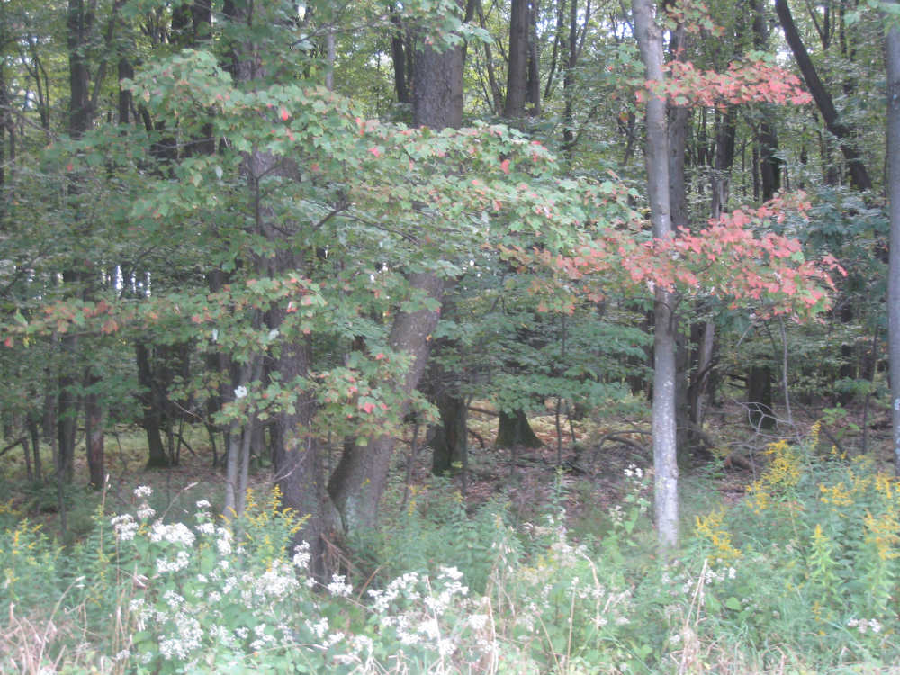
Some maples starting to turn in the woods next to us |
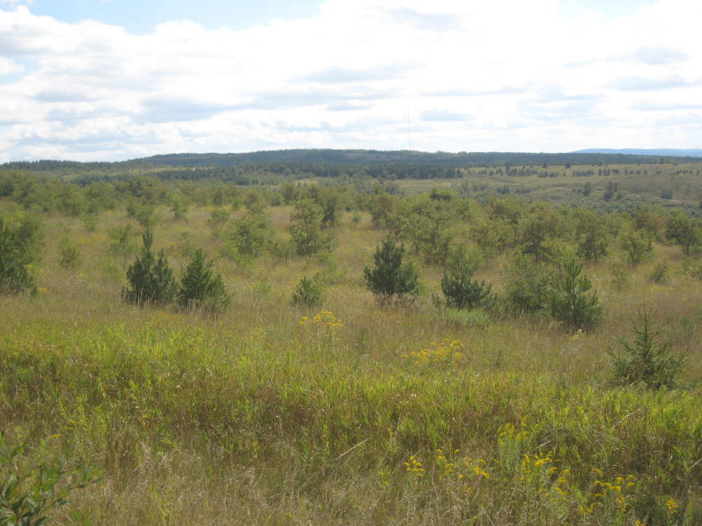
Fields near the top of the hill |
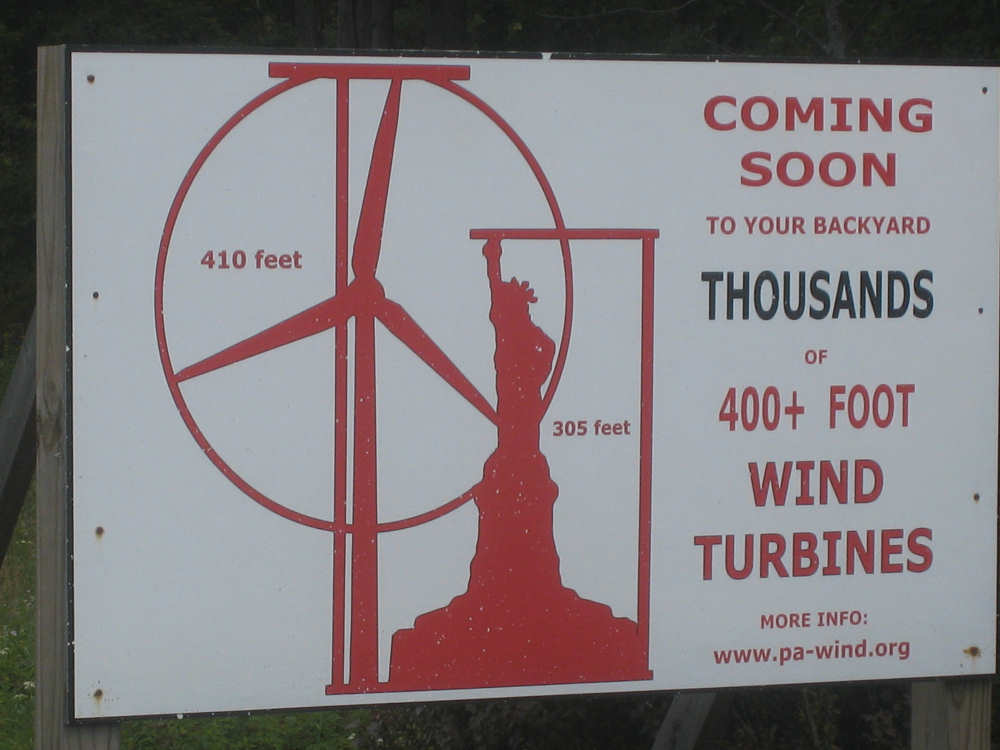
Some local group seems to be against putting up windmills here |
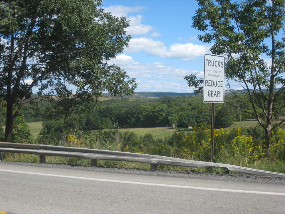
We must be close - here's the sign for the start of a long downhill |
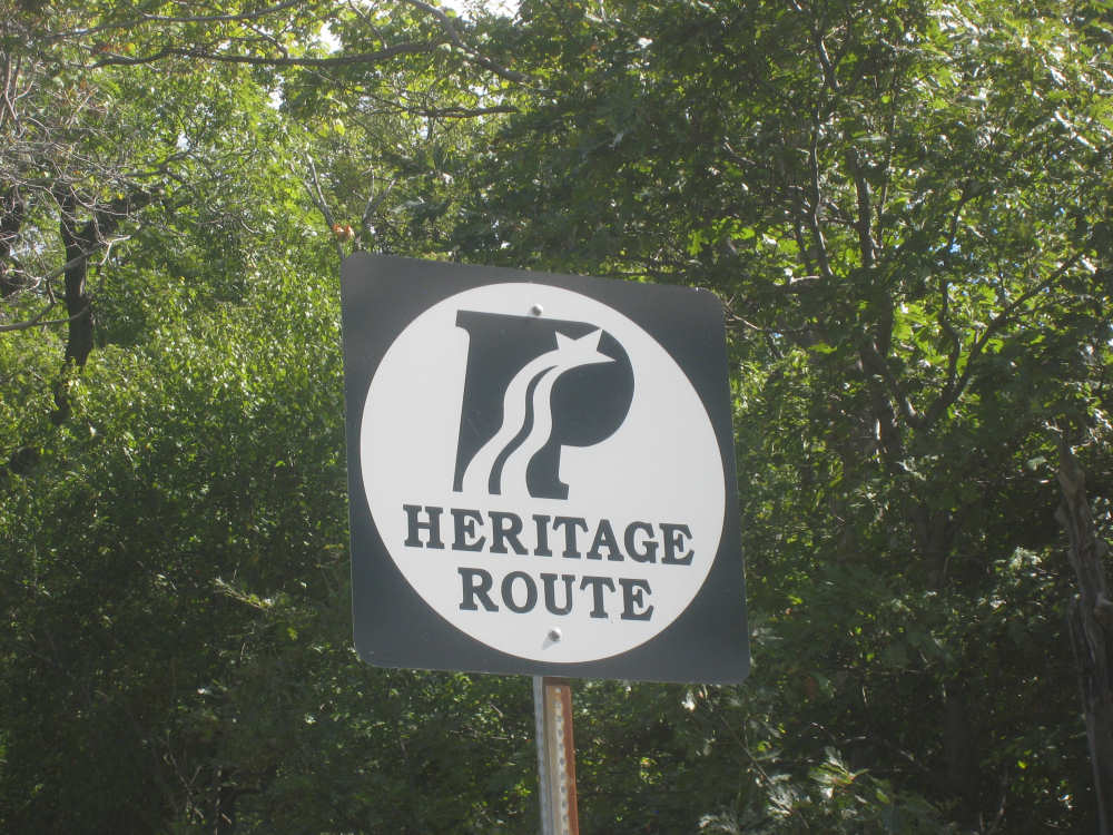
The Pennsylvania Heritage Route sign |
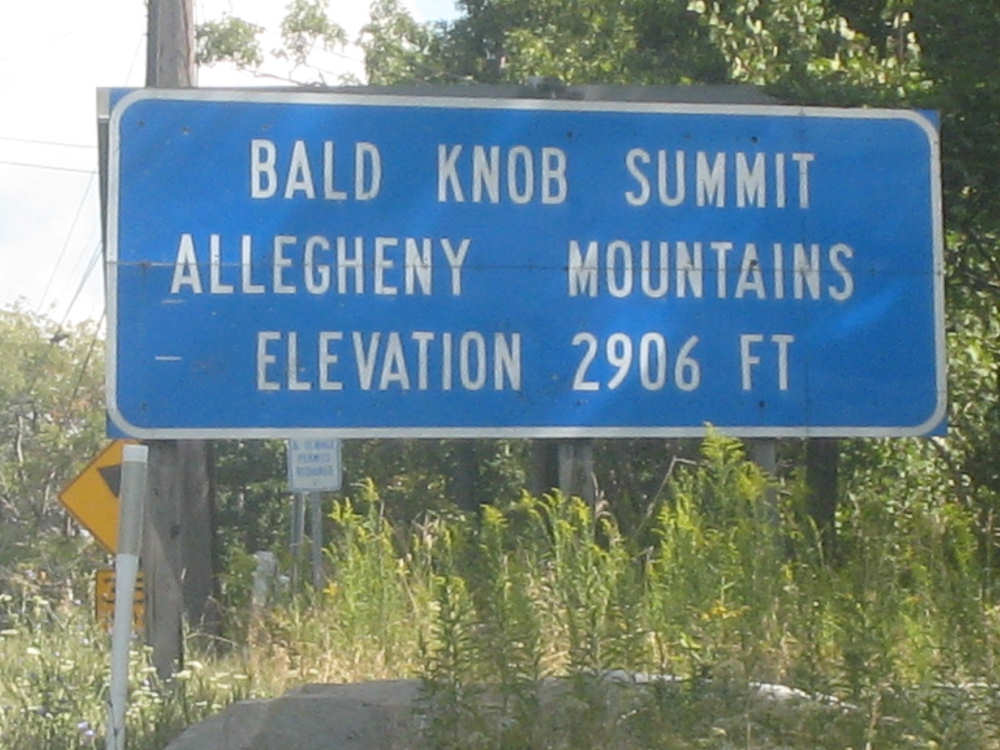
The top of our last big hill |
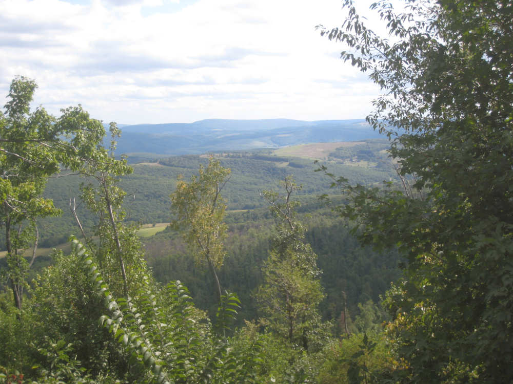
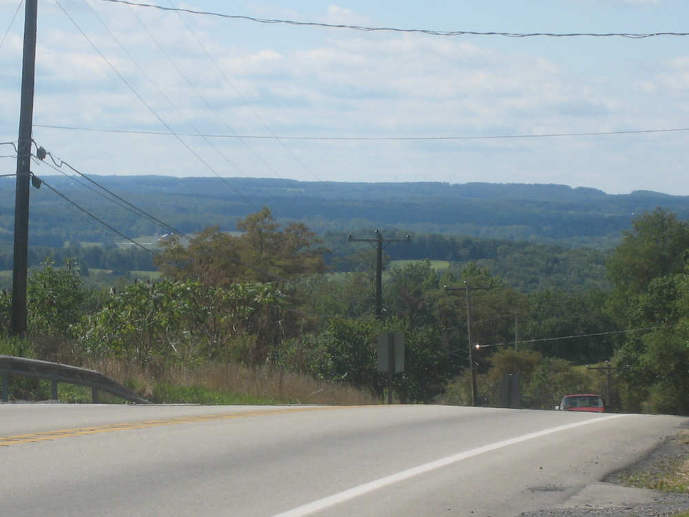
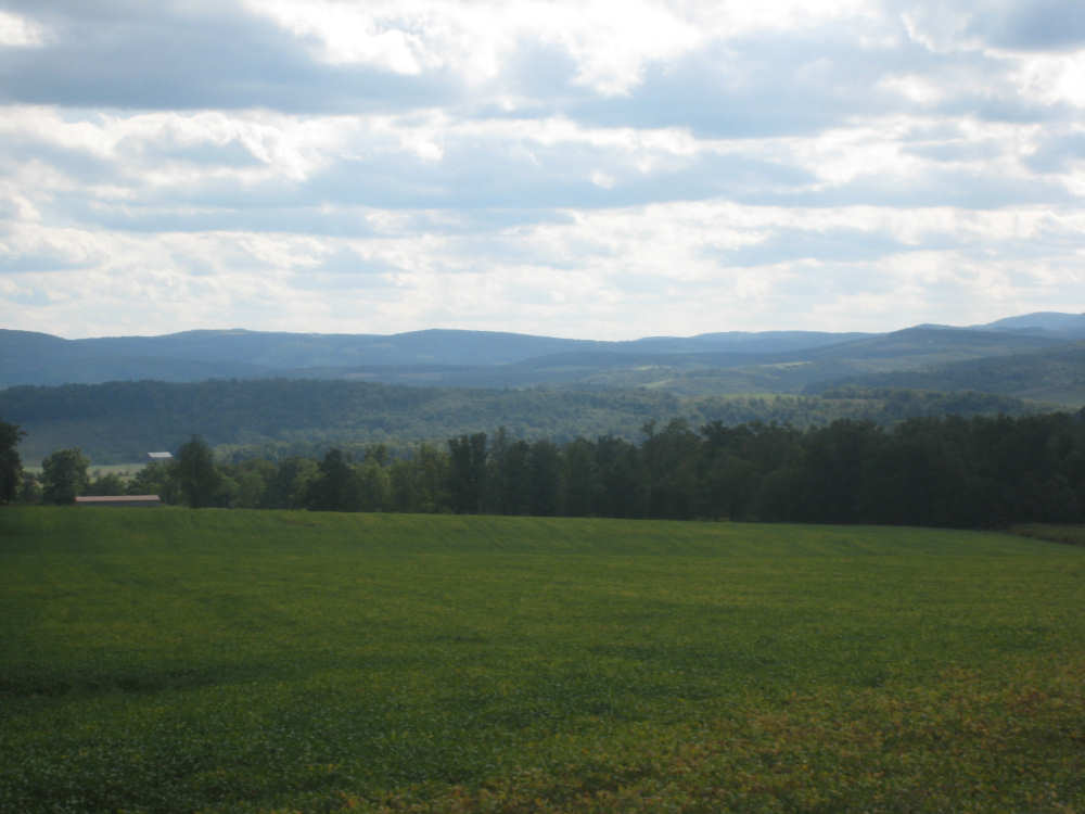
View of the hills and valleys below |
Mt. Ararat, at a lookout point a little way down from the top |
The view from the lookout point |
The same view, farther down |
More mountains ahead, but not today |
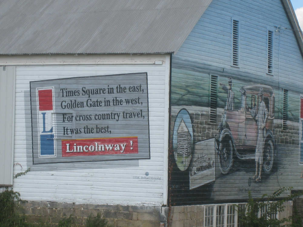
Another mural on the side of a barn, with a highway poem! |

Two insets from the mural (pay attention, you'll see one of them later) |

A buffalo herd near a shop that sells turquoise jewelry, crafts and bison meat |
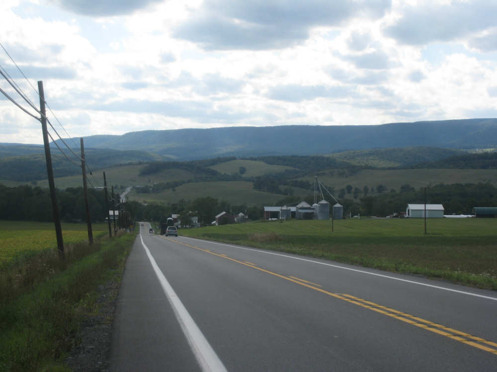
Looking back on mountains, valleys and farms as we head up to Schellsburg |
Rolling mountains to our left |

Sign about an 1806 log church... |
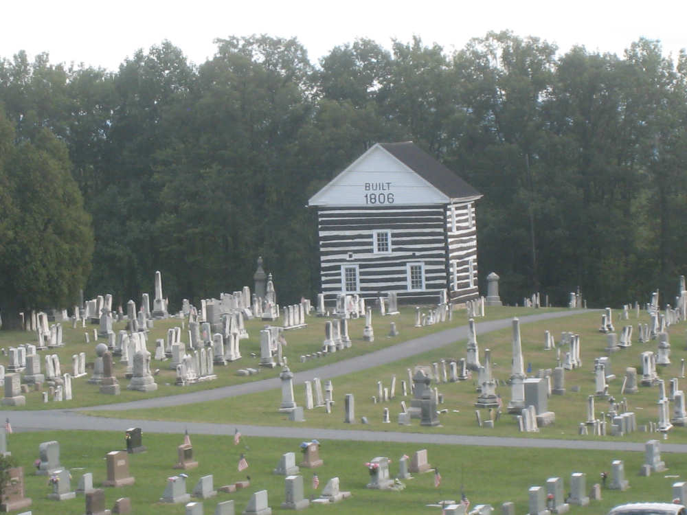
in an old cemetery (yes, this was depicted on the barn mural) |
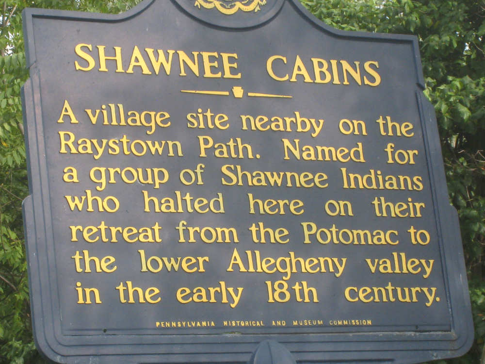
Another historic marker in Schellsburg... |
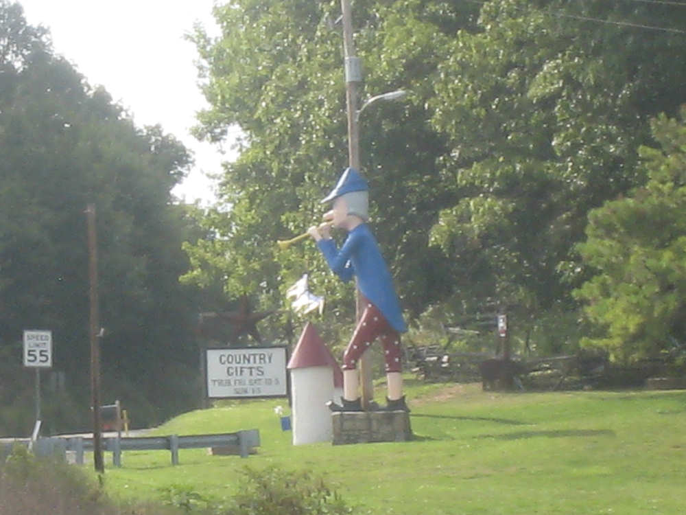
and a cute statue in front of an antiques and crafts shop |